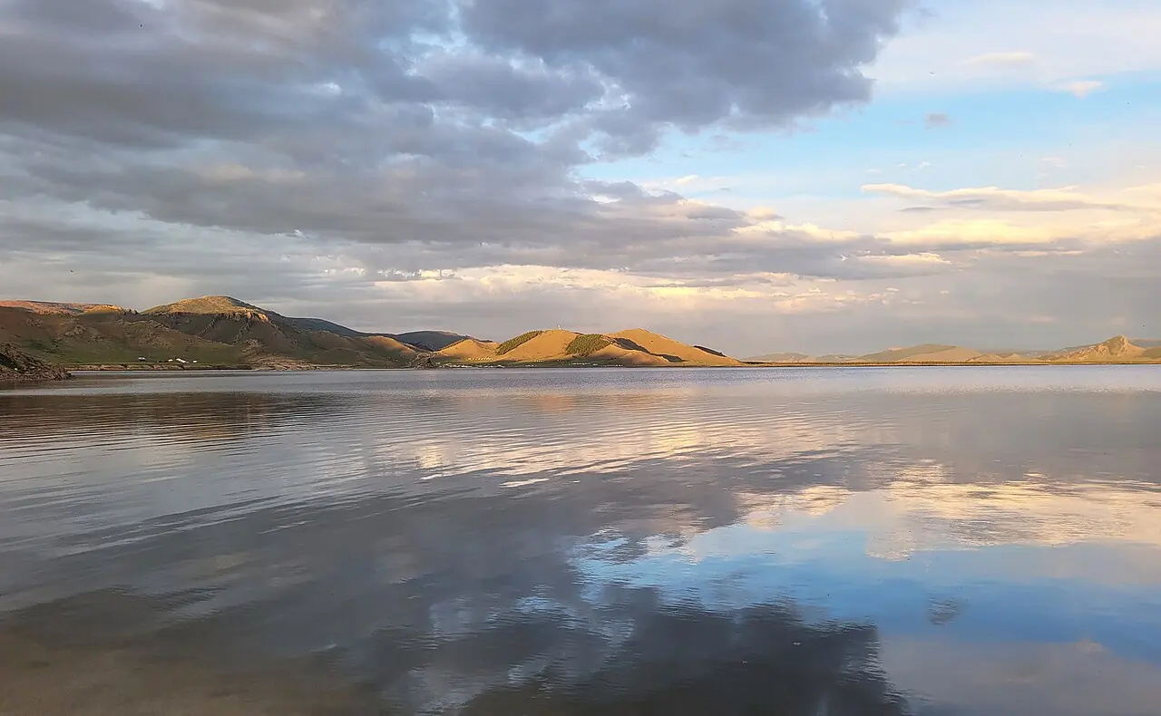
A freshwater lake beside an extinct volcano.
Terkhiin Tsagaan Nuur lies at about 2,060 m in the north of Arkhangai, with the extinct Khorgo volcano near its eastern end. The lake is about 16 km long and up to 10 km wide, with an average depth of around 20 m. Its clear fresh water, larch-covered hills and black lava fields make it one of the most visited places in central Mongolia.
A lake made by a volcano
Khorgo is a cinder cone about 120 m high, with a summit crater around 180 m across. It erupted roughly 8,000 years ago, and its lava flooded the valley and dammed the river, creating the lake. The lava field is still rough and broken, with solidified lava bubbles that locals call 'basalt gers'. Ten rivers feed the lake, and the Suman river drains it. The area has been protected since 1965 and is now Khorgo-Terkhiin Tsagaan Nuur National Park; the lake is also a Ramsar wetland of international importance. Small larch forests grow in the valleys, and red deer, wild boar and ruddy shelducks live here.
What to do and how long to stay
The climb from the base of Khorgo to the crater rim is short but steep and takes about an hour return. Two nights let you add a ride along the shore, a swim on a calm morning and some fishing. The lake is at high altitude, so the water stays cold even in summer and nights are cool.
Season and care
July and August are warmest, but they are also the wettest months. The lake freezes in winter. Use existing campsites, keep soap and waste out of the water, and walk on the lava with care, as the rock is sharp and uneven.
Photo: Bernard Gagnon · CC0 · Wikimedia Commons
Things to do at Terkhiin Tsagaan Lake & Khorgo
5 activities · best season: Summer, Autumn
Hiking · 1 h
Climb Khorgo volcano
A short, steep path leads to the rim of the extinct crater, with views over the lava fields and the lake.
Swimming · 1–3 h
Swim or kayak in the lake
The clear water is cold even in July, but calm mornings are good for a swim or a paddle.
Horse riding · 2–4 h
Ride along the shore
Herders along the lake rent horses for rides around the bays and up into the hills.
Read the guide →Fishing · Half day
Go fishing
The lake is known for its pike; ask locally about permits and seasons.
Camping · Overnight
Camp on the north shore
Sheltered meadows and larch woods make some of the best campsites in central Mongolia.
When to go & how to get there
Weather by month
Getting there
The lake lies on the road west from Tsetserleg to Tariat, about 10–12 hours by car from Ulaanbaatar; the road is mostly paved. Buses run from Ulaanbaatar to Tsetserleg and on to Tariat; from Tariat the camps are a short drive.
Where to stay
Ger camps line the north and east shores, and Tariat village has basic guesthouses. Camping on the shore is popular in summer.
Gallery
5 photos · tap to enlarge · sources credited on each photo
Where is Terkhiin Tsagaan Lake & Khorgo?
from Ulaanbaatar from Tsetserleg · a dotted end marks a stretch with no road
Arkhangai province · nearest town: Tariat soum
Guides that mention Terkhiin Tsagaan Lake & Khorgo
- Mongolian GeographyMongolian geography explained: the Altai, Khangai and Khentii ranges, Lake Khövsgöl, rivers, steppe, the Gobi Desert, the extreme climate and travel tips.
- Tourism in MongoliaTourism in Mongolia explained: top regions from the Gobi to Khövsgöl and the Altai, the travel season, transport, ger camps and how trips are usually organised.
- Mongolia Visitor StatisticsMongolia visitor statistics: approximate yearly arrivals from the National Statistics Office, recent trends, top source markets and strong summer seasonality.
- Mongolia Travel MapMongolia travel map explained: the Gobi, Central Khangai, Khövsgöl in the north, the western Altai and the eastern steppe, with classic routes from Ulaanbaatar.
- Top 10 Places to Visit in MongoliaTop 10 places to visit in Mongolia, from Ulaanbaatar and the Gobi dunes to Kharkhorin, Lake Khövsgöl and the Altai, with tips on planning your route.
- Biking and Cycling in MongoliaBiking and cycling in Mongolia: mountain biking routes near Terelj and in central Mongolia, road conditions, bike gear, spare parts, season and safety.
Khangai & Central
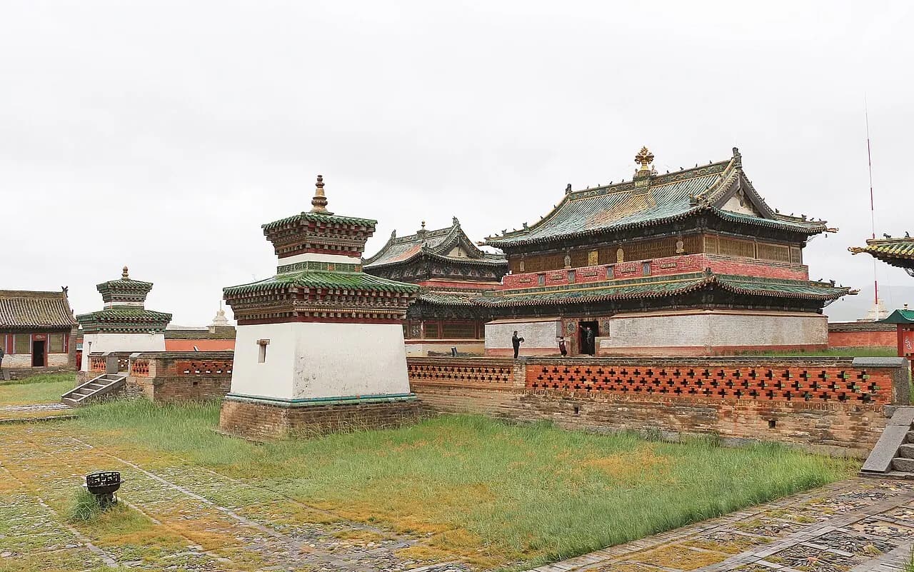
Kharkhorin & Erdene Zuu
Mongolia's oldest surviving Buddhist monastery, built on the ruins of the imperial capital Karakorum.
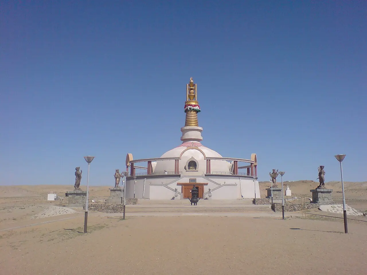
Khögnö Khan & Elsen Tasarkhai
Gobi, steppe and mountain in one place; the closest dunes to the capital.
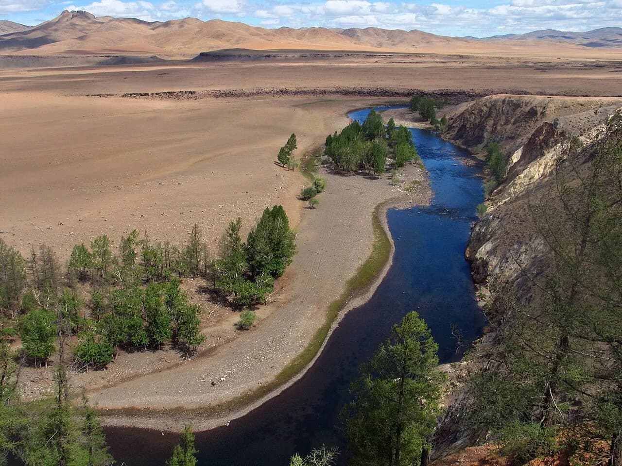
Orkhon Valley & Ulaan Tsutgalan
A 20 m waterfall, nomad summer camps and Tövkhön monastery.