Mongolian Geography
Mongolian geography explained: the Altai, Khangai and Khentii ranges, Lake Khövsgöl, rivers, steppe, the Gobi Desert, the extreme climate and travel tips.
3 min read · Updated
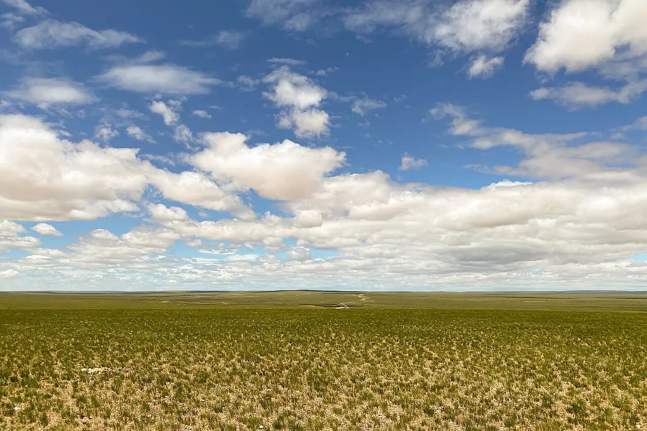
Photo: Bernard Gagnon · CC0 · Wikimedia Commons
Mongolian geography is defined by height, distance and contrast. The country is a vast high plateau of about 1.56 million km² between Russia and China, averaging around 1,500 metres above sea level. Snow-capped mountains rise in the west, forests and lakes cover the north, grassland steppe stretches across the centre and east, and the Gobi Desert fills the south.
Mountain ranges: Altai, Khangai and Khentii
- Altai Mountains — the highest range, running along the western border. Khüiten Peak in the Tavan Bogd massif reaches 4,374 metres, the country's highest point, with glaciers on its flanks. The range continues south-east into the desert as the Gobi-Altai.
- Khangai Mountains — a broad, older range in central Mongolia with rolling forested slopes, hot springs and the headwaters of the Orkhon River.
- Khentii Mountains — north-east of Ulaanbaatar, forested and rich in rivers, home to Burkhan Khaldun, the sacred mountain associated with Chinggis Khaan.
Lakes and rivers
Mongolia has thousands of lakes. Lake Khövsgöl in the far north, at about 1,645 metres, is the country's deepest lake and holds roughly 70% of Mongolia's surface fresh water. Uvs Nuur in the north-west is the largest lake by area and is salty. The Great Lakes Depression in the west holds Khyargas, Khar Us and other lakes, while Terkhiin Tsagaan Lake in the Khangai sits among extinct volcanoes and lava fields.
Mongolia's rivers drain in three directions: north to Lake Baikal and the Arctic Ocean via the Selenge, which is fed by the Orkhon and Tuul; east towards the Pacific via the Onon and Kherlen in the Amur basin; and into closed inland basins in the west and south. The Orkhon is often cited as the longest river flowing entirely within Mongolia, at roughly 1,100 km.
The steppe and the Gobi Desert
Grassland steppe covers much of central and eastern Mongolia and is the heartland of nomadic herding. The Eastern Steppe, around Dornod and Sükhbaatar provinces, is one of the largest intact temperate grasslands on Earth.
To the south, the steppe dries into the Gobi, which is mostly gravel plains, rocky hills and scrub rather than sand. Dunes cover only a small part of it; the best known, Khongoryn Els, run for roughly 100 km along the foot of the mountains. The Gobi is also famous for dinosaur fossils, especially at Bayanzag, the "Flaming Cliffs", and for oases and canyons such as Yolyn Am.
Climate and seasons
Mongolia's climate is extremely continental. January averages in Ulaanbaatar are around −20 °C, while Gobi summer days can exceed 35 °C. Most precipitation falls as summer rain in July and August; winters are dry, cold and sunny. Strong spring winds bring dust storms, especially in the Gobi, and permafrost underlies parts of the north. Temperatures can swing by 20 °C or more within a single day.
Practical tips
- Pack layers in every season: even in summer, nights in the mountains and the Gobi can be cold.
- Allow plenty of time. Distances are long, roads in the west and the Gobi are often rough tracks, and rivers can become impassable after heavy rain.
- High areas such as Tavan Bogd require warm clothing; glacier trips need an experienced guide and a border-zone permit, which tour operators usually arrange. Confirm current permit rules before you travel.
- Domestic flights to western and southern provinces save days of driving, but schedules change often, so confirm with the airline shortly before departure.
Places in this guide
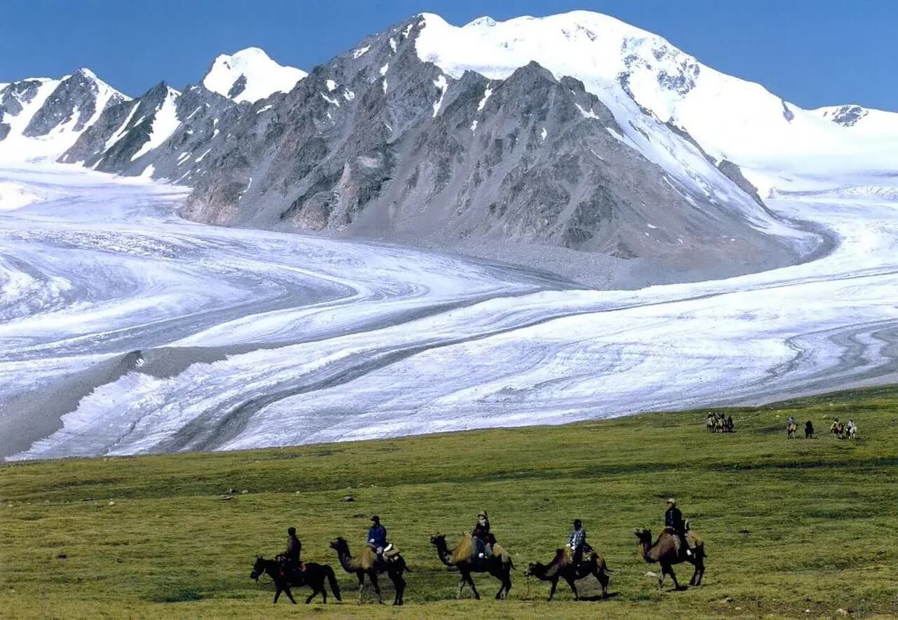
Altai Tavan Bogd
Mongolia's highest peak Khüiten (4,374 m) and the Potanin glacier.
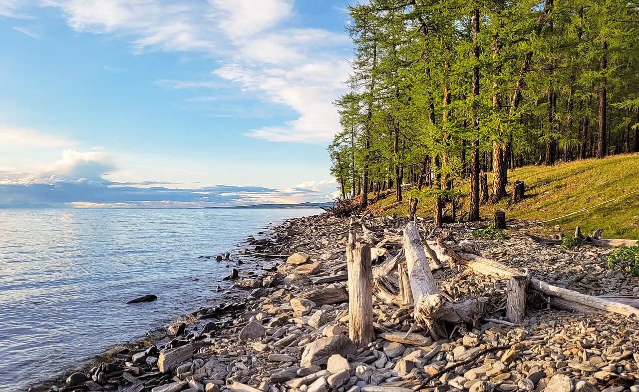
Lake Khövsgöl
The 'blue pearl of Mongolia', holding almost 70% of Mongolia's fresh water.
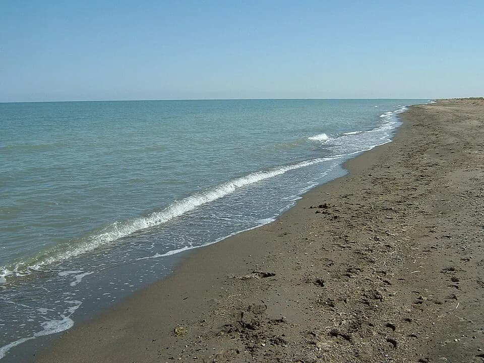
Uvs Lake
Mongolia's largest lake, a UNESCO biosphere reserve.
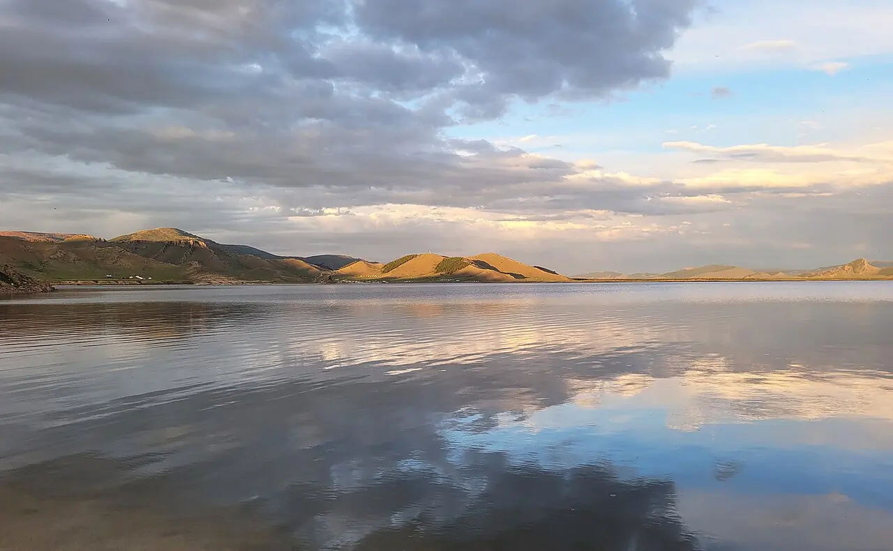
Terkhiin Tsagaan Lake & Khorgo
A freshwater lake beside an extinct volcano.
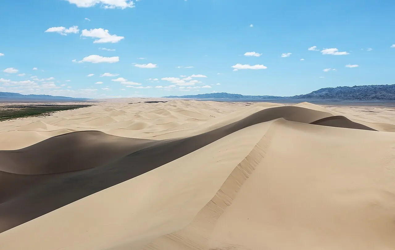
Khongoryn Els
The 'singing sands': one of Mongolia's largest dune fields, with ridges said to reach 300 m.
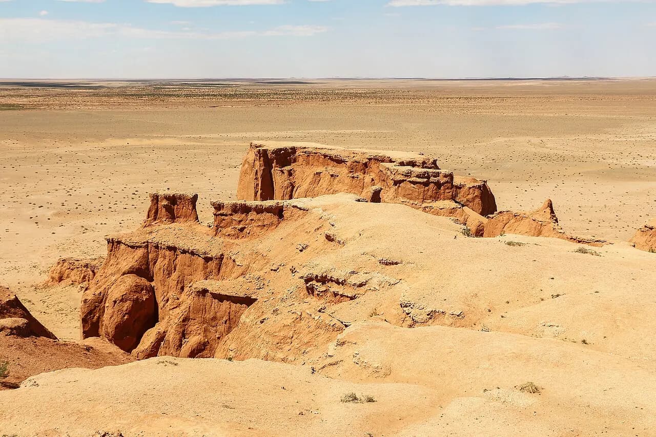
Bayanzag (Flaming Cliffs)
The red cliffs where dinosaur eggs were first discovered.
Frequently asked questions
What is the highest point in Mongolia?
Khüiten Peak in the Tavan Bogd massif of the Altai Mountains, at 4,374 metres, is Mongolia's highest point.
Is the Gobi Desert all sand?
No. Most of the Gobi is gravel plain, rocky hills and scrub; sand dunes such as Khongoryn Els cover only a small part of it.
What is the largest lake in Mongolia?
Uvs Nuur, a salt lake, is the largest by area, while Lake Khövsgöl is the deepest and holds by far the most fresh water.