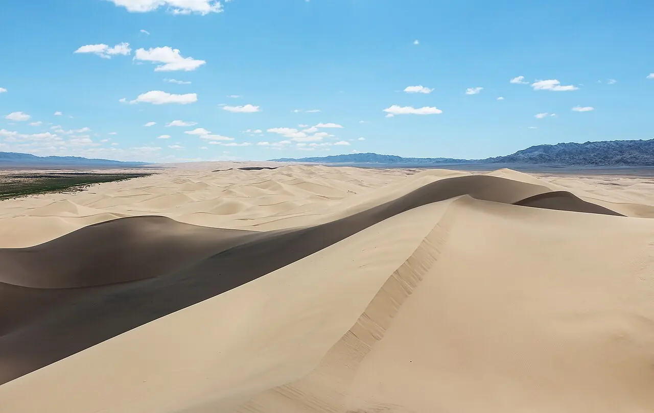
The 'singing sands': one of Mongolia's largest dune fields, with ridges said to reach 300 m.
Khongoryn Els lies at the northern foot of the Gobi Gurvan Saikhan mountains and is one of Mongolia's largest dune fields, a belt of sand 6 to 12 km wide that covers more than 900 km². Most dunes stand around 80 m high, but the tallest ridges, at the north-western end, are said to reach 300 m. On windy days, or when you slide down a steep face, the sand gives off a low hum or roar, which is why Mongolians call it Duut Mankhan, the singing dunes.
Sand, water and wildlife
The dunes are part of Gobi Gurvan Saikhan National Park, created in 1993 and enlarged in 2000. The crests are sharp and curved and shift with every storm. Along their northern edge the small Khongor river, fed by water from the surrounding mountains, keeps a strip of green pasture alive, and herders graze camels and horses there. Saker falcons, Pallas's sandgrouse, saxaul sparrows and foxes live around the margins.
Climbing the dunes
The classic outing is a climb to a high crest in the late afternoon. The sand is soft and steep, so going up takes far longer than the distance suggests; allow two to three hours for the round trip. Coming down is quick and is when you are most likely to hear the dunes sing. One full day and a night is enough for a climb, a camel ride and a sunset, but two nights let you see the sand at dawn as well.
When to go and how to behave
May, June and September are the most comfortable months. In July and August daytime highs are often near 30 °C, and spring brings sandstorms. Carry plenty of water, wear a hat and avoid the midday heat. Do not drive vehicles onto the dunes, and take all rubbish with you.
Photo: Bernard Gagnon · CC0 · Wikimedia Commons
Things to do at Khongoryn Els
5 activities · best season: Spring, Summer, Autumn
Dunes · 2–3 h
Climb the singing dunes at sunset
Scramble up the highest ridge, around 300 m above the plain, for views over the Gobi Gurvan Saikhan range. On windy days the sand hums under your feet.
Camel riding · 1–3 h
Ride a Bactrian camel
Herder families at the edge of the dunes offer camel rides along the sand, from an hour to a full day.
Read the guide →Dunes · 1–2 h
Sandboard or sled down the dunes
Some ger camps rent boards and sleds; the steep north faces give the longest runs.
Culture · 1–2 h
Visit a camel-herding family
Stop at a herder's ger along the Khongor river oasis, try camel milk and see how families live in the Gobi.
Stargazing · Evening
Stargaze in the dark Gobi sky
With no towns for a hundred kilometres, the Milky Way is bright on clear, moonless nights.
When to go & how to get there
Weather by month
Getting there
Most visitors come on a Gobi tour by 4x4 from Ulaanbaatar via Mandalgovi and Dalanzadgad, usually 2 days each way. To save time, fly from Ulaanbaatar to Dalanzadgad and continue by jeep (about 4–5 hours on dirt tracks). Daily buses run from Ulaanbaatar to Dalanzadgad; beyond that you need a hired car with driver.
Where to stay
Several ger camps sit along the northern edge of the dunes, from simple family-run camps to tourist camps with showers. Staying with a camel-herding family is often arranged by tour companies. There is no shop at the dunes: bring water and snacks.
Gallery
5 photos · tap to enlarge · sources credited on each photo
Where is Khongoryn Els?
from Ulaanbaatar from Dalanzadgad · a dotted end marks a stretch with no road
Ömnögovi province · nearest town: Sevrei soum, Ömnögovi
Guides that mention Khongoryn Els
- Mongolian GeographyMongolian geography explained: the Altai, Khangai and Khentii ranges, Lake Khövsgöl, rivers, steppe, the Gobi Desert, the extreme climate and travel tips.
- Tourism in MongoliaTourism in Mongolia explained: top regions from the Gobi to Khövsgöl and the Altai, the travel season, transport, ger camps and how trips are usually organised.
- Mongolia Visitor StatisticsMongolia visitor statistics: approximate yearly arrivals from the National Statistics Office, recent trends, top source markets and strong summer seasonality.
- Mongolia Travel MapMongolia travel map explained: the Gobi, Central Khangai, Khövsgöl in the north, the western Altai and the eastern steppe, with classic routes from Ulaanbaatar.
- Gobi Desert Tour MapGobi Desert tour map: the classic 6–8 day loop from Ulaanbaatar via Tsagaan Suvarga, Yolyn Am, Khongoryn Els, Bayanzag and Kharkhorin, with rough distances.
- 15 Facts About the Gobi Desert15 facts about the Gobi Desert: its size, cold climate, dunes, dinosaur fossils, Gobi bears, wild camels and mineral wealth, plus tips for visiting.
Gobi
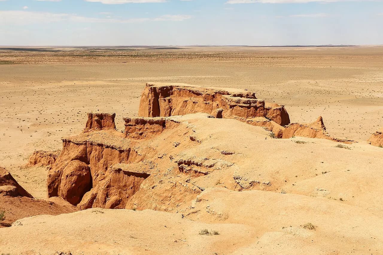
Bayanzag (Flaming Cliffs)
The red cliffs where dinosaur eggs were first discovered.
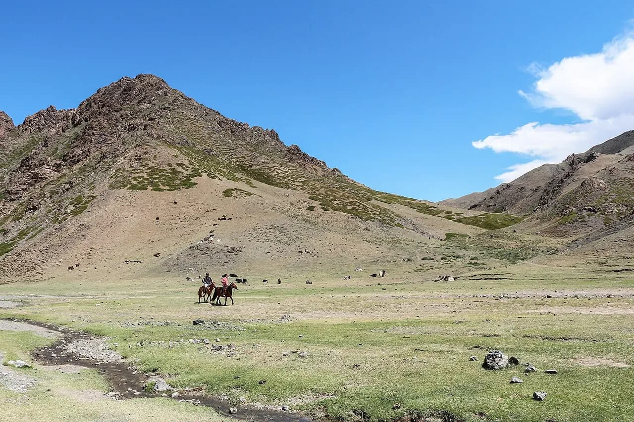
Yolyn Am
An ice-filled gorge in the heart of the Gobi; the ice survives into midsummer.
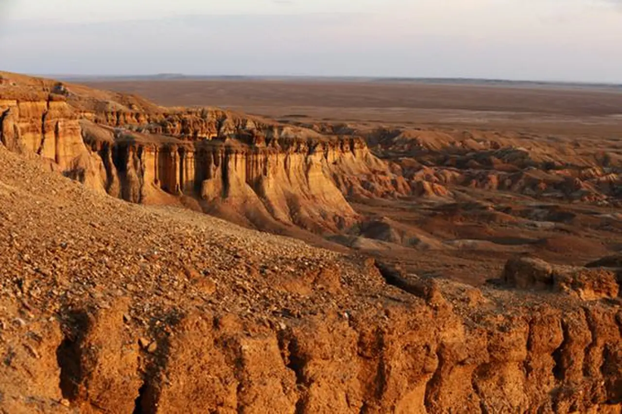
Tsagaan Suvarga
A 60 m wall of multicoloured clay, once a sea floor.