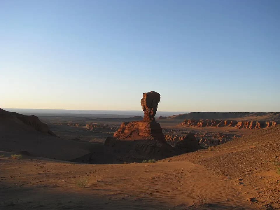
A remote maze of red cliffs and gullies in the western Gobi, and a major dinosaur fossil locality.
Khermen Tsav is a large area of eroded red and orange cliffs, gullies and isolated rock towers in Gurvantes soum, in the far west of Ömnögovi. Saxaul shrubs cover the ground at the foot of the slopes. Few travellers make the long drive, so you are likely to have the canyons to yourself.
Rocks from the age of dinosaurs
The cliffs expose Late Cretaceous sandstones of the Baruungoyot Formation, part of which was laid down as wind-blown dunes in a dry basin; palaeontologists often call these the Red Beds of Khermeen Tsav. Finds here include the armoured dinosaurs Tarchia, Saichania and Zaraapelta, the small horned dinosaur Bagaceratops, the oviraptorosaur Conchoraptor, early birds such as Gobipteryx, and fossil eggs. The site is one of the localities in the 'Cretaceous Dinosaur Fossil Sites in the Mongolian Gobi' on Mongolia's UNESCO Tentative List. In the gullies, wind and rare flash floods have cut the layered sandstone into walls, buttresses and pillars.
Practical realities
Collecting fossils without a permit is illegal in Mongolia, and taking them out of the country is prohibited, so do not dig, collect or move anything you find. The sandstone towers are soft and crumble easily; do not climb them or stand near overhanging edges. The side gullies look alike, so carry a GPS and mark the position of your vehicle before you set off on foot. There is no water or shade, and help is very far away.
When to go
The best months are May, June, September and early October. In July and August the canyon floors can become extremely hot, and spring can bring sandstorms. Plan on at least one night of camping and a full day of exploring. Camp away from gully floors in case of sudden storms, and take all rubbish back with you.
Photo: Mongolia Expeditions… · CC BY 3.0 · Wikimedia Commons
Things to do at Khermen Tsav
5 activities · best season: Spring, Autumn
Hiking · 2–4 h
Walk the canyon floors
Explore the dry gullies between the red walls on foot. Keep track of your route, as the side canyons look alike, and carry plenty of water.
Nature · 1–2 h
Read the rock layers
The banded cliffs expose Late Cretaceous sediments. You may see fossil fragments; leave them where they lie, as removing fossils is prohibited.
Photography · 1–2 h
Photograph the red walls
Early morning and late afternoon light brings out the colours of the cliffs and the shapes of the eroded towers.
Camping · overnight
Camp in the desert
There are no facilities, so an overnight stay means wild camping. Choose a site away from gully floors and take all rubbish with you.
Stargazing · 1–2 h
Watch the night sky
Far from any town, the canyon has very dark skies on clear, moonless nights.
When to go & how to get there
Weather by month
Getting there
Fly or drive from Ulaanbaatar to Dalanzadgad (a paved road of about 550 km). From there Khermen Tsav is roughly 400 km to the west on rough desert tracks, a full day or more by 4x4. Go with an experienced local driver who knows the route, ideally with a second vehicle, and carry navigation, water and supplies for several days.
Where to stay
There is no accommodation at the canyon; visitors camp and must be self-sufficient. The nearest services are in soum centres such as Gurvantes, and Dalanzadgad has hotels and nearby ger camps.
Where is Khermen Tsav?
from Ulaanbaatar from Bayankhongor · a dotted end marks a stretch with no road
Ömnögovi province · nearest town: Gurvantes
Gobi
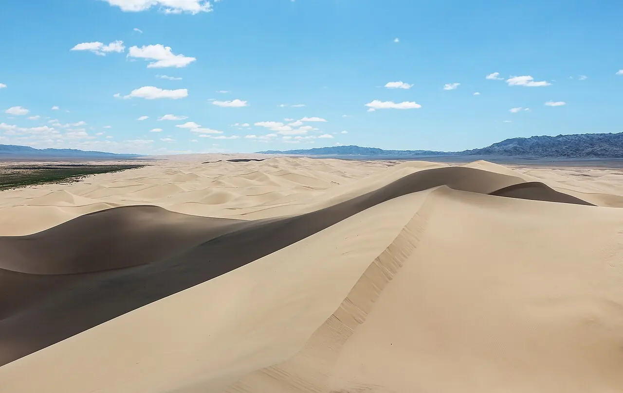
Khongoryn Els
The 'singing sands': one of Mongolia's largest dune fields, with ridges said to reach 300 m.
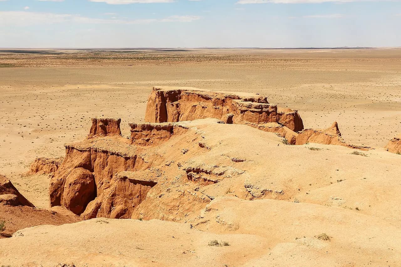
Bayanzag (Flaming Cliffs)
The red cliffs where dinosaur eggs were first discovered.
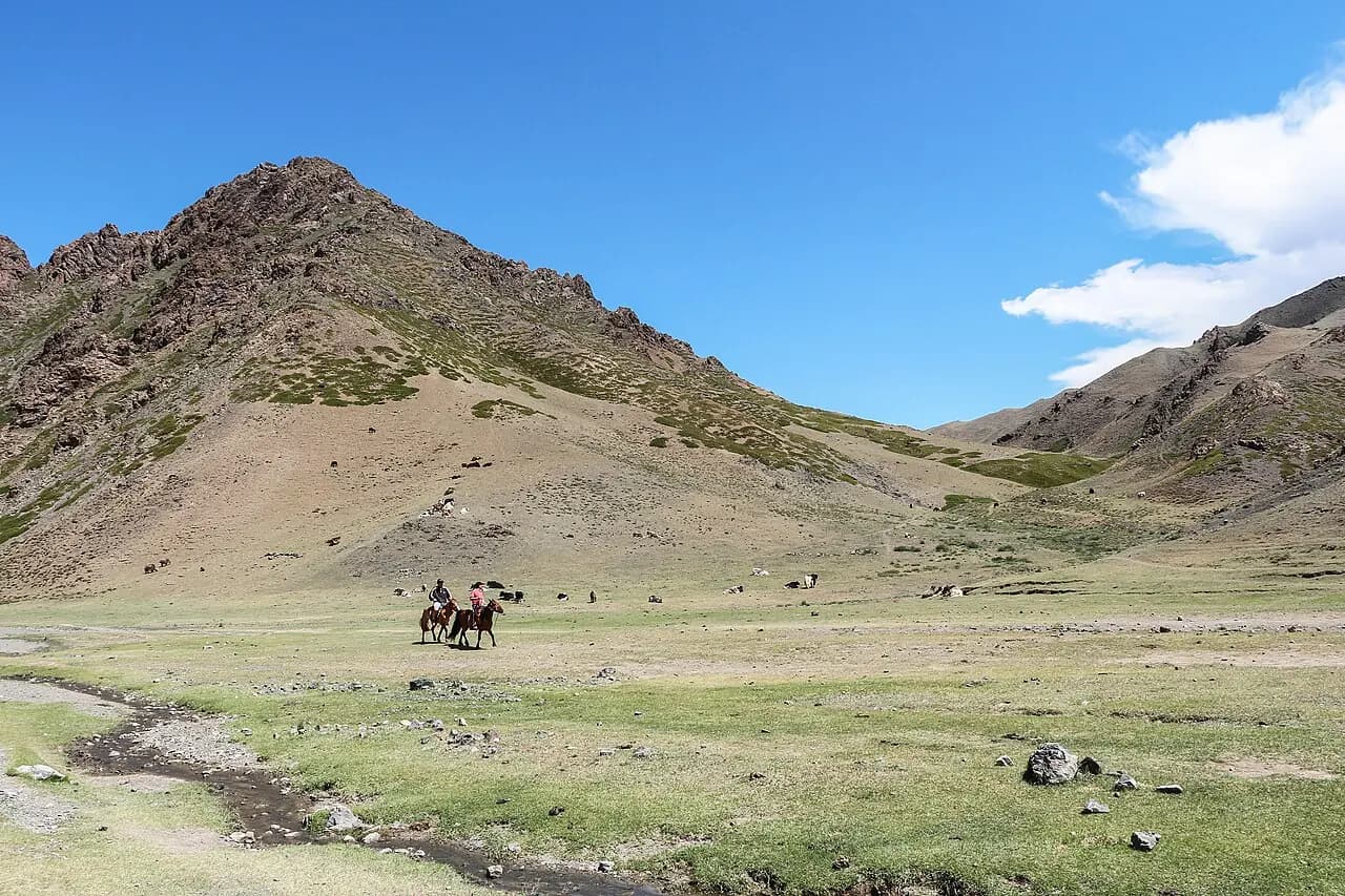
Yolyn Am
An ice-filled gorge in the heart of the Gobi; the ice survives into midsummer.